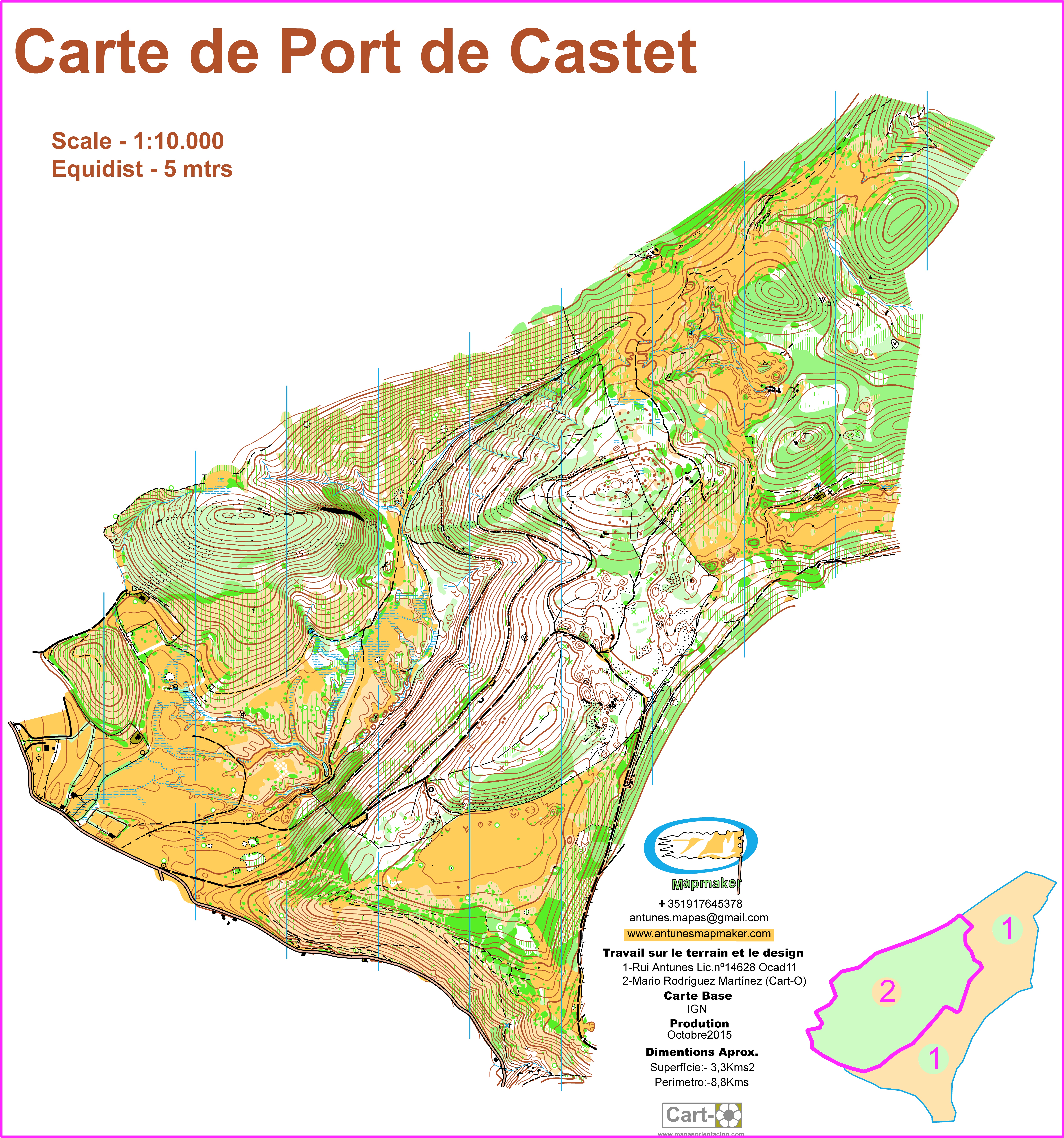
(186) -Port Castet Map-FranceOCT2015
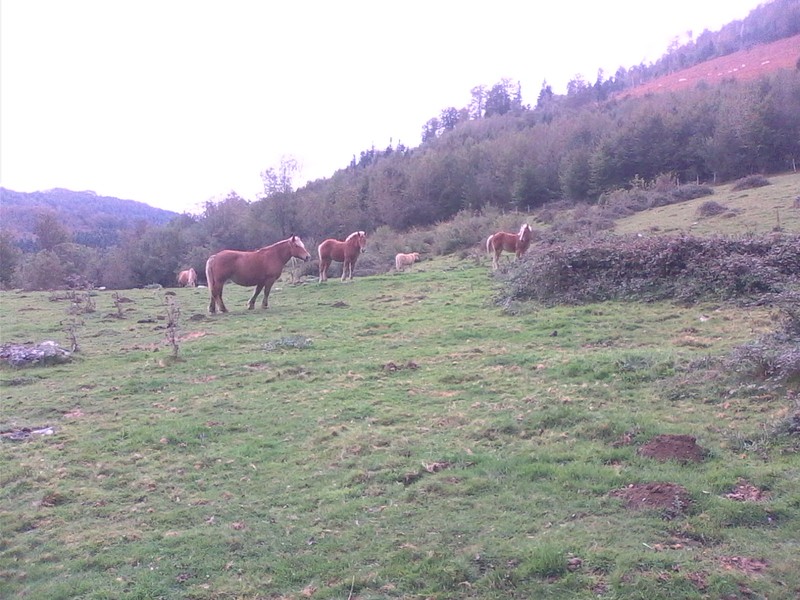
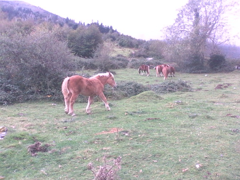
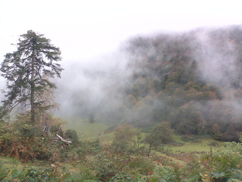
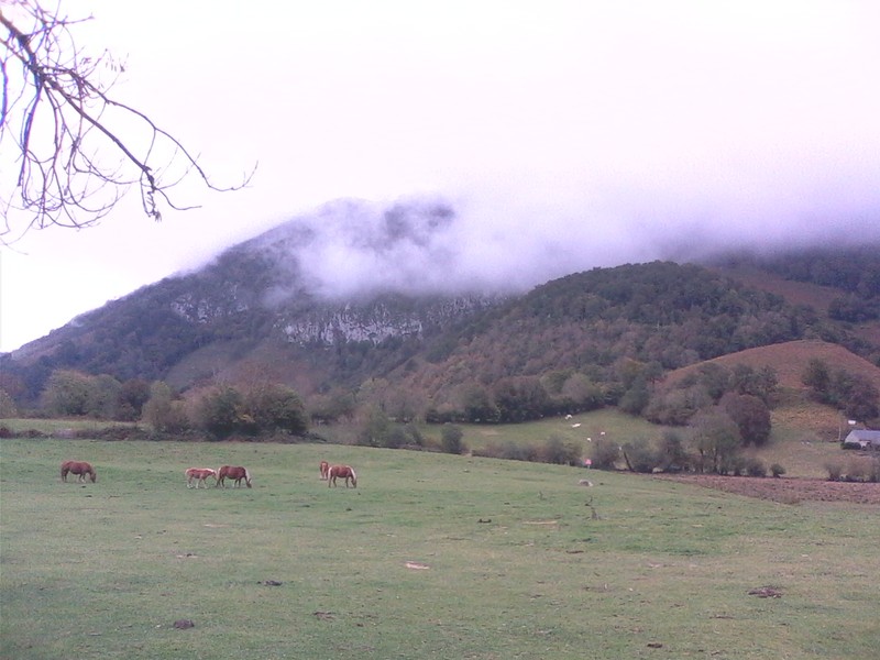
Map of Portcastet - FranceOUT2015: This map was prepared by me and another cartographer in the Pyrenees region. It was more of a map drawn on a very challenging and physically demanding terrain. It consisted of three different types of terrain: Plateau land with meadows where there was good visibility and the race was easy. Land of forest with good visibility but with accentuated unevenness and terrain with very unevenness and very reduced or even null visibility. Very interesting indeed.
« Back
