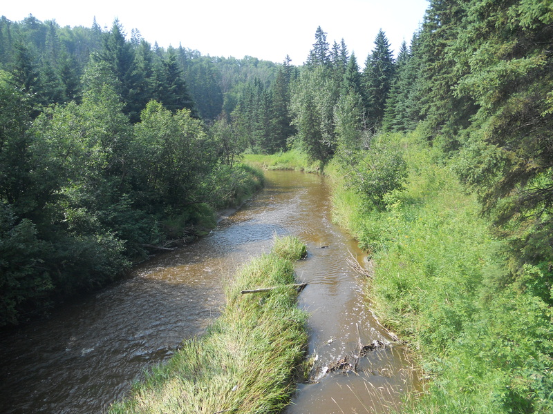
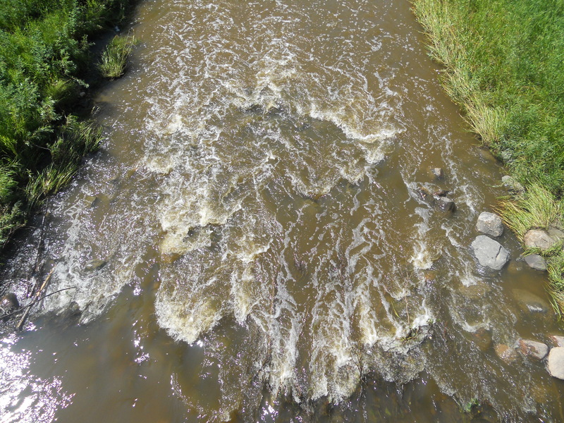
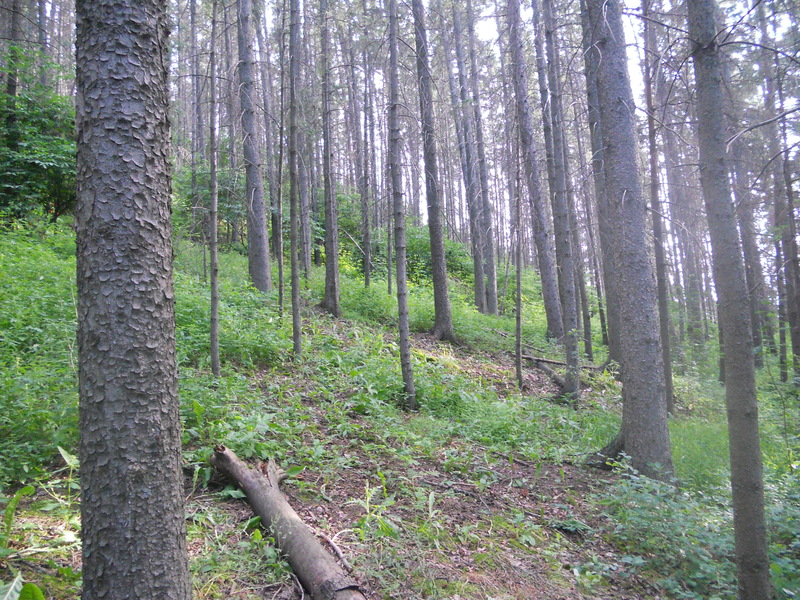
This is the second of five maps of our project with the AOA (orienteering Association Of Alberta) and is not an area to fill the eye of mapmakers and discerning practitioners. It is an extension of the previous and therefore very similar. It's a really beautiful forest consisting of two slopes along a river and never will have a width greater than 700 meters away. In length is large.
The relief level has steep slopes and some quite difficult to access. Only in the northernmost part has a small very technical area. The vegetation is quite dense and therefore
penetrability difficult.
