As planned, after the end of the map (Green Lake-Catus), travel about 200 kilometers to the southeast.
We installed on Camping Soureze.
Here we had a bungalow with excellent conditions for doing our job.
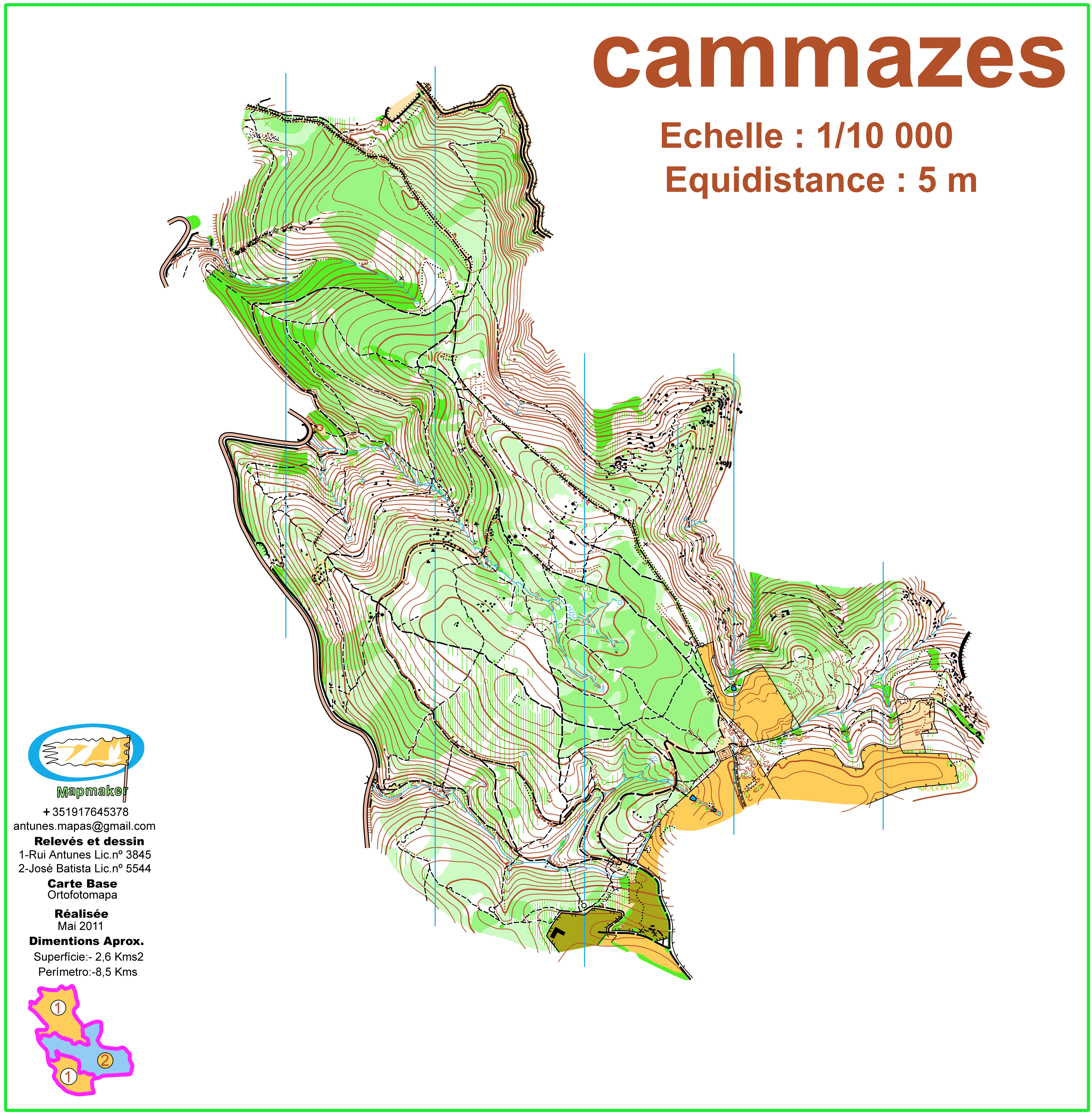
This map is situated at an altitude of 600 meters and was mostly covered with oaks and some other hardwoods.
The base map we used was an old map and ortophotomap.
It is one map that presents no technical difficulties, but which can become very interesting if the course planner careful in their planning.
Being a map physically very demanding and with poor visibility, the planner can take advantage of it and draw some very interesting and challenging courses.
I think this map in the future will surprise even those who already knew him.
